top of page

Blog

Blog Picture.jpg
Search

Yesterday, I explored the ring of three public roads and two closed roads that surround the vast, open field that I dub the Old Holland Plain. The plain lies to the south of Methodist Girls’ School and King Albert Park MRT Station.


The public roads are Old Holland Road to the north, Holland Link to the east, and Holland Plain to the south. The closed roads are Holland Road South and Holland Road West. Together, they surround a sprawling patch of quiet, open greenery a short walk from the busy Bukit Timah-Dunearn trunk road.

ree
Base picture credit: Google Maps.

Old Holland Road was derived from Holland Road. I’ve written about the latter as a secondary trunk road in Jalan Singapura. Holland Road wasn’t named after the geographical region in the Netherlands; rather, it was named after a person, probably Sir Henry Holland (1825-1914), Secretary of State for the Colonies from 1887 to 1892.

ree
Sir Henry Holland in 1906.

Back when anything west of Orchard Road was considered “the country”, Holland Road served the suburban, northwestern part of the Municipality of Singapore. After a realignment sometime between the 1870s and 1880s, Holland Road connected Napier Road and Bukit Timah Road, running northwest for much of the way, then northeast, for a total of four and a half miles.


Holland Road in 1954, shaded blue:

ree

The area I explored was the northern section of Holland Road in 1954, close to Bukit Timah Road. The Chinese cemetery at the 7th Milestone of Holland Road was Fong Yun Thai Cemetery, a Hakka graveyard.


The northern section of Holland Road in 1975:

ree

Smaller tracks branching off the road, such as Yoon Kim Road, Lorong Makam, and Lorong Panchar, had been named.


The same area in 1995:

ree

Methodist Girls’ School had moved to the area from Mount Sophia. Fong Yun Thai Cemetery had been exhumed; the remains of its deceased had been moved to a columbarium built by the association which had managed the cemetery.


The aforementioned tracks of Yoon Kim Road and Lorong Makam had been expunged; the latter for Holland Lane.


The area in 2007:

ree

A new road system was forming - Holland Road North, Holland Road West, Holland Road South (absorbing Holland Lane), and Holland Link to create a ring road connecting Holland Road to Blackmore Drive. The stretch of Holland Road east of Brizay Park to Bukit Timah Road had been renamed Old Holland Road.


And the area today:

ree
Base picture credit: Google Maps.

The area remains largely undeveloped. Part of Holland Road has been expunged. Holland Road West and half of Holland Road South remain closed; the other half of Holland Road South is now Holland Plain. Holland Road North has been renamed and added to Old Holland Road; this means the western part of Old Holland Road today is ironically, not so “old” - it is about 20 odd years old.


I started my journey in the south, where Holland Road South, Holland Road, and Holland Plain met.

ree

People parked their cars here to play with their drones. I wonder whether they knew this wide expanse was once a Hakka cemetery. I tried imagining a sea of graves before me.

ree

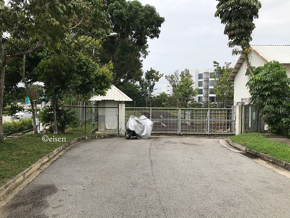
Holland Road South, closed to motor traffic. One could walk in though. Joggers used it too.

ree

I walked on Holland Road South, heading west.

ree
ree

As Holland Road South gave way to Holland Road West, the road narrowed significantly, partly because years of neglect had allowed trees and bush to reclaim part of the road. Observing how nature encroached upon an abandoned road was fascinating.

ree

Most of Holland Road West was split vertically 1:2 - one-third was left for pedestrians, joggers, and cyclists, while two-thirds was fenced off; a peek past the fence reveals a dusty track connected to work sites.

ree

Holland Road West meets Old Holland Road and Blackmore Drive here.

ree

This part of Old Holland Road used to be Holland Road North - not a very “old” road.

ree

Old Holland Plain, formerly Fong Yun Thai Cemetery.

ree

Holland Link.

ree
ree

The Fong Yun Thai Association Columbarium lies along Holland Link. More about the columbarium in a future post!

ree
ree

Holland Plain, formerly Holland Road South, and before that, Holland Lane, and further before that, Lorong Makam.

ree
ree

According to the Urban Redevelopment Authority’s 2019 Master Plan, Old Holland Plain is slated for housing. Laurel Wood Avenue will also be extended to connect Holland Link and Holland Plain to Sixth Avenue:

ree
Credit: Urban Redevelopment Authority.

Like many open patches of greenery in Singapore, we’ll have to enjoy this while it lasts.

 
  • Jan 16, 2021

Singapore used to be covered by cemeteries. No thanks to urban renewal and redevelopment in a land-scarce, overcrowded city-state, most of these cemeteries have disappeared, but it’s fitting that we still have roads and places named after “Cemetery” in multiple languages.


For our national language Malay, there’s Jalan Kubor, or “Grave Road”, in Kampong Glam. The cemetery there predates the arrival of the British in 1819.

ree
Jalan Kubor Cemetery, as seen from Victoria Street.

For Hokkien, there’s Tiong Bahru in the south. “Tiong” is Hokkien for “Cemetery”; “Bahru” is Malay for “New”. Numerous Chinese cemeteries there have been exhumed.


For English, many roads in Choa Chu Kang Cemetery - the only cemetery in Singapore currently open to burials - have “Cemetery” in them. For example, Christian Cemetery Path 11, Muslim Cemetery Path 4, and Hindu Cemetery Path 1.

ree
Muslim Cemetery Path 4. Credit: Google Maps.

And as for Tamil, there’s Jalan Mayaanam, or “Graveyard Road”, a tiny road of around 140 metres, off Upper Changi Road North.

ree

I recently visited Jalan Mayaanam. Heading down Upper Changi Road North, blink and you’ll miss it. It’s a narrow, single-lane dual carriageway, with hardly any lane markings. It seems to serve only two functions: An alternative exit for vehicles from the Salvation Army’s Peacehaven Nursing Home and the Japanese School, and free parking space for heavy vehicles. Next to the road is Exit 1 of the Tampines Expressway, which sees a continuous flow of traffic.

ree
Jalan Mayaanam.
ree
Free parking for heavy vehicles.
ree
Plenty of erosion due to frequent parking.
ree
Mature trees next to the road.
ree
The end of the road just 140 metres in - locked gates of the Japanese School.

Jalan Mayaanam used to be far longer, running from the old Upper Changi Road to the now-defunct Tampines Road.

ree
A 1976 map of the area. The fragment of Jalan Mayaanam still surviving today is marked in blue. Jalan Mayaanam's "Graveyard" refers to the Hindu cemetery in the middle of the map, now expunged. Base picture credit: Survey Department.

In the 1980s, the road was sliced in half by the northward extension of Upper Changi Road East to Tampines Road; the extension was later incorporated into Tampines Expressway.


Most of the rest of the road was subsequently expunged, saved for the fragment which still exists today.


If the expressway had been planned several metres to the right, Jalan Mayaanam would not exist today.

ree
Credit: Streetdirectory.com.

The road got its name from the Hindu cemetery which used to exist to its east.


In 1982, The Straits Times described the cemetery as thus:


All the bodies, except for a few, are buried along one edge of the cemetery. There is an open hut 7 metres by 5 metres next to the entrance where the rituals before a burial take place.


There are two large 60-year-old trees, giving shade, ostensibly. They stand like sentinels, whispering to each other when the wind blows. A coconut tree, with its top sliced off by lightning, stands like an accusing finger. The white frangipani adds an unearthly fragrance to the atmosphere - an atmosphere of timelessness, for time has stopped for those who are here. The other half of the cemetery is a wide, open space of green grass, which gently dips towards one length of the boundary. From this half, the view is enchanting: a creamy blue sky forming a canopy over the luxurious green tops of trees.


The visitors come here to worship and worry. It is here that they feel hope and fear, grief and guilt, love and loath, all at once. It is simple yet stark; serene and yet uneasy. It is the place of eternal sleep. It is The Destination.

ree
The cemetery. Credit: Singapore Press Holdings.

Sadly, by the 1990s, the cemetery was exhumed; condominiums stand on the site today. As for Graveyard Road, it is largely forgotten, known only to the drivers of heavy vehicles who wish for free parking.


Today, we explored the northern end of Lim Chu Kang Road, from the Lim Chu Kang Lane 4 junction to the sea.

ree
ree
The northernmost part of the Lim Chu Kang area, facing northwest. Blue marks the roads we explored. Base picture credit: Google Maps.

This area is as rural as Singapore can be, and compared to much of the rest of the Republic, not much has radically changed since the trunk road was completed in the early 1930s. This area is still largely used for farming, many rural tracks branching off the trunk road still exist (but are unfortunately out of bounds, within the Mindef training area), and the trunk road itself remains a single-lane dual carriageway (albeit paved, painted with road markings, and lit).


We took the opportunity to check out Bahtera Track, which runs west from Lim Chu Kang Road to near the coast. The track is one of Singapore Island’s last unpaved, unlit roads - a great example of how the island’s rural roads were once like. The track is relatively new, though - I guess it was carved out around 20 years ago, to serve the adventure camps facing the sea. Bahtera Track took its name after Jalan Bahtera (“Ark Road”), which is far older; most of the latter has survived development, but lies inside the Mindef training grounds.

ree
The junction of Bahtera Track and Lim Chu Kang Road.
ree
The adventure camps served by Bahtera Track.
ree
Bahtera Track.
ree
ree
ree
The Singapore Scout Association Sarimbun Camp, served by the track. It was deserted.

Near the sea, there is a large bronze memorial marking the location where the Japanese stormed the beaches on the night of 8 February 1942 - the start of seven days of battle, culminating in the surrender of Singapore on 15 February. A quiet and solemn reminder that this remote, peaceful area was once the site of a bloody struggle between forces battling for the dominance of the Pacific.

ree

The sea itself is not accessible today for security reasons.

ree

From the Bahtera Track junction, we walked north along Lim Chu Kang Road to the sea.

ree

This is Lim Chu Kang’s northernmost bus stop, B01.

ree

It serves just one looping bus service, SMRT Bus Service 975. Buses halt at a bay just short of the stop for around five minutes, which allows the driver to take a pee break. They then make a three-point turn and return where they came from, all the way back to Bukit Panjang Integrated Transport Hub.

ree

A short distance north of Bus Stop B01 is the end of Lim Chu Kang Road. A jetty lies beyond, but it is accessible only to the Coast Guard, and I guess inhabitants of the kelongs on the Straits of Johor.

ree

And here’s a picture of me working hard, thanks to Tiak!

ree

I hope the rural nature of Lim Chu Kang lives on indefinitely. Urban Singapore needs it.


Copyright © 2025 Eisen Teo. Proudly created with Wix.com

bottom of page